

1. The Limitations of Traditional Level Transmitters in Complex Surface Measurement
Traditional single-point radars, ultrasonic sensors, and mechanical level gauges suffer from an inherent blind spot: they capture only a single-point height value. When the material surface is highly irregular, estimating total volume based on one point leads to calculation errors of up to 15% or more.
To address this industry challenge, RETTAR has independently developed the 3D Radar Level Scanner. It provides accurate measurements for uneven material surfaces right at the source.
2. Core Operating Principle of RETTAR 3D Radar Level Scanner
To overcome the limitations of traditional equipment, the 3D Radar Level Scanner utilizes 80 GHz Frequency Modulated Continuous Wave (FMCW) radar technology, integrated with a high-precision rotating and tilting scanning mechanism. This design moves beyond the constraints of single-point measurement.
The 3D Radar Level Sensor performs a 360° full-domain scan of the silo to rapidly collect 3D Punktwolke data of the material, reconstructing the true accumulation profile. Driven by advanced spatial volume algorithms and adaptive point cloud reconstruction technology, the system effectively filters out field interferences such as dust and water vapor. It precisely fits the actual surface topography of the material and constructs a high-precision 3D model, providing reliable data support for accurate bulk measurement.

3. Technical Benefits: Why RETTAR 3D Scanners Outperform Traditional Single-Point Radars
Full-Domain 3D-Scannen : This method replaces traditional single-point sampling. It uses full-domain 3D scanning to fully capture the material buildup inside the silo. It precisely captures details such as uneven surfaces, peaks, valleys, sloped piles, and localized voids.
High-Precision Data Calculation: Calculations are performed across the entire 3D model to precisely compute real-time level height and accumulated volume. This eliminates the need for manual estimation or calibration, resolving measurement errors caused by uneven surfaces and ensuring traceable inventory data.
High Environmental Adaptability: The 3D Radar Level Scanner signal delivers excellent penetration performance and remains unaffected by heavy dust, high water vapor, or low-light environments. The 3D Radar features an IP68 dust and moisture protection rating, an ambient operating temperature tolerance of up to 60°C without external cooling, and global ATEX/IECEx explosion-proof certifications.It delivers maintenance-free, 24/7 reliability operation to maximize system uptime and sensor longevity in extreme environments.
Patented technologies, multiple awards: Die 3DPro2300 Radarscanner holds a design patent, multiple utility model patents, and invention patents, ensuring clear patent rights and no infringement risks for customers. Additionally, it has received several prestigious awards, including the Leaders in Automation Awards, the French Design Award, and the American MUSE Award.
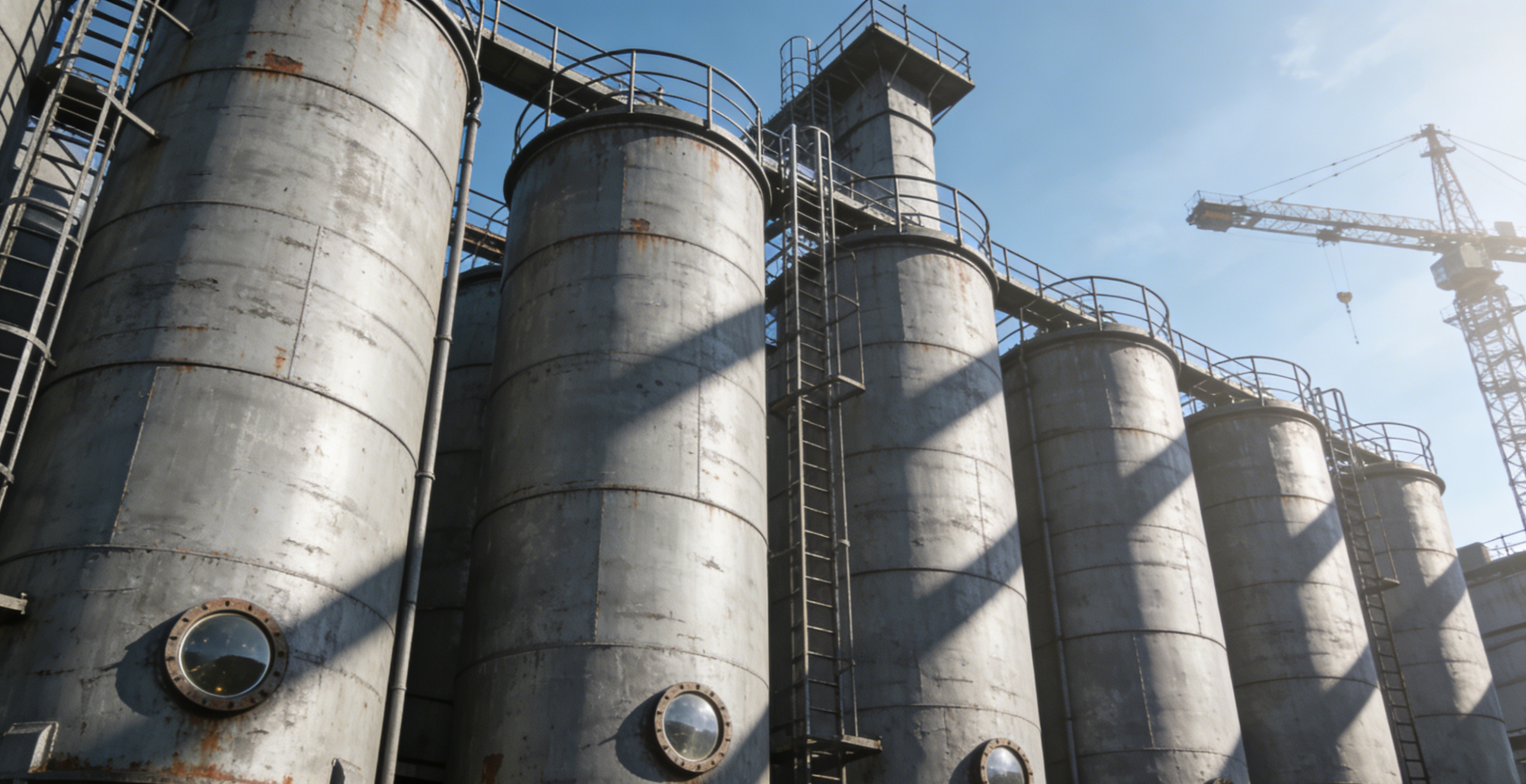
4. Typical Industrial Applications and Field Results
Chemical & Cement Industries: Resolves inventory inaccuracies through 3D Scanning Technology for grain silos, cement bunkers, coal stockpiles, mineral ore yards and powder chemical storage tanks. Eliminates stockout risks and inventory discrepancies caused by sidewall buildup and angles of repose in powder silos.
Mining & Aggregates:Adapts to uneven stockpiles of sand, gravel, and ore. It accurately calculates pile volume, which helps improve production scheduling.
Grain & Oil Storage: Solves issues from uneven grain buildup and local collapses. This ensures accurate inventory data and keeps storage safe.
Power & Coal Powder: Works well in dusty areas of coal bunkers. It removes the risks of false levels and inventory discrepancies. This helps keep plant operations stable.
The 3D Radar Level Scanner breaks through the limitations of traditional measurement devices. By leveraging full-domain scanning, high-precision measurement, high interference immunity, and visual management, it adapts to complex bulk material storage conditions across various industries.
Facing hurdles of uneven material surfaces, inaccurate readings and cumbersome inventory audits? Stop guessing your bulk material volume. Contact RETTAR’s specialists via WhatsApp or email to get your tailored 3D sensing measurement solution.